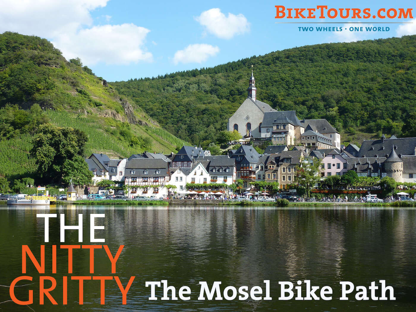

BikeTours.com former Vice President Natalie Cook toured the Mosel Bike Path on a solo self-guided tour. She gave us all the details on this popular tour, from terrain and navigation to safety and traffic.

The Route
Many bicycle tourists rank cycling along the Mosel River in Germany among the best in Europe. The paved, mostly flat, and very scenic dedicated bicycle paths traverse meadows and vineyards and pass through historic villages.
The most popular route is between the 2,000-year-old city of Trier and Koblenz, where the Mosel enters the Rhine. Between the two cities, the Mosel meanders nearly 200 kilometers (125 miles) to cover the 100-kilometer (62-mile) distance, making for leisurely cycling.
Terrain and surface
The route is generally flat with some sections of low-grade inclines and occasional short, steeper inclines (usually climbing up from river to roadway level as the path sometimes shifts to following a bike lane alongside a road for short segments). The terrain should be manageable for travelers of average fitness, particularly those who go for leisurely rides often. Nonetheless, e-bikes are available for this tour and are a great option for anyone worried about the daily distances, occasional hills, or keeping up with your partner or party.
The path runs along both sides of the Mosel, with each side paved most of the way. Where it becomes unpaved along one bank, you have the option to continue along the opposite bank’s pavement instead. The paved surface is mostly asphalt, but in some towns it becomes a smooth bricked surface along waterfront promenades.
The rare and short unpaved sections are dirt and gravel. One unpaved section of note is in a national forest just after leaving Cochem. It’s a foray I highly recommend through peaceful woods and fields.
Navigation
You’ll receive a cycle route guidebook at your arrival hotel as well as a packet of information from the tour company, Velociped. Their notes will indicate the recommended routes in the route guide to follow each day, with any alternative routes of note or interest. Excursions are also detailed that might stray from the regular route.
The route guide has maps showing points of interest, the route’s surface, and comparative proximity to traffic, ferry crossing, train stations, and more. In addition to the map graphics, turn-by-turn directions detail waypoints.
Your fellow pedalers
You’ll see all sorts along the way: couples, groups of friends, and solo riders. Families with little ones in trailers or tagalongs. Locals out for a day ride, self-contained travelers hauling their camping gear and extras, and your fellow self-guided riders using support service from a tour company. Men in full spandex cycling apparel and ladies in jeans, blouses, and fashionable scarves.
The majority of the cyclists I passed on the path were roughly middle-aged and almost exclusively European. But then again, I also saw a scout troop of teenage boys and two high-school-aged girls giggling over maps (and those scouts, if I had to guess) as they made their way on perhaps their first unchaperoned overnight trip.
You’ll likely end up seeing some fellow bike travelers repeatedly throughout your journey, leap-frogging one another during rest stops and overnights. It’s nice to see familiar faces after a couple days!
Safety
I absolutely love traveling solo and don’t tend to be a worrier-type, but I do of course take appropriate precautions and safety measures that anyone (especially women) should when jumping into a new place by yourself. That said, I felt perfectly secure doing this tour solo and self-guided.

While riding, there’s always just enough civilization around (farms, campgrounds, villages, or other cyclists and pedestrians on the path) that I never felt terribly isolated. My accommodations were always in desirable locations, usually in villages that would be defined as “sleepy hamlets!” All planning and good judgment aside, though, it was still reassuring to have an emergency hotline to the tour company… just in case.
I found people – as I tend to everywhere I travel, especially when solo – eager to help and to proudly showcase their home to a foreign visitor. Good example? A mud-covered local mountain biker heading home from the trails circled back after passing me poring over a map to ask if he could help me find my way.
Traffic
The Mosel Bike Path isn’t just a single, straight path – it’s actually a mapped route of the best ways to navigate along the Mosel by bike (though most of it does indeed follow a dedicated bike path). When you’re not on the dedicated path, you’re usually on a separated bike lane along a road or highway for short segments.
When arriving at and departing from your hotel, navigating usually a few blocks off the bike path route, you may have to use roads shared with vehicles in city centers, though I never found those to be high-traffic. Happen to be hitting at “village rush hour?” You can always walk the bike on a sidewalk if you’re not comfortable sharing the road.
The dedicated bike path (the majority of the route) is reserved for cyclists and pedestrians, leaving you carefree to just pedal and enjoy the setting. On some stretches going through vineyards, you may have to share the road with farm equipment like tractors and slow-moving trucks – the farmers let us ride through their property in exchange for assistance maintaining the path that used to be just for their use!
See Natalie’s other post about the Mosel Path (and how to shorten a day’s riding!).
Family friendly, Featured destinations, Guided, Self-guided, Solo travel, Mosel, Rhine, Germany
Mark Scarton
9 years ago
One thing that we could really use is a GPS tracker for every tour. Minor issues have put us off ofnthe documented path both times. I was able to use Google Maps to get back on track eventually. But I ran up a $1,000 roaming charge in Denmark, more than the cost of the tour itself.
A complete GPS track that I could use with my iPhone would be ideal. And it would leave me with more funds available for ym next tour. :-)
BikeTours.com Staff
9 years ago